Having spent hours trying to find the bug in my logic, I’ve finally found the offending item. Talk about obscure! Here’s the offending block of…
View More Java Array Filling with Only Last Record’s DataCategory: Computing
Creating a Suitable Development Environment for Geocoding: Macs, Java and NetBeans – Part 1
Problem Statement Having extracted the Ordnance Survey Open Names data from the OS web site and found that the precision of the data was insufficient…
View More Creating a Suitable Development Environment for Geocoding: Macs, Java and NetBeans – Part 1How to: Create a Project in QGIS
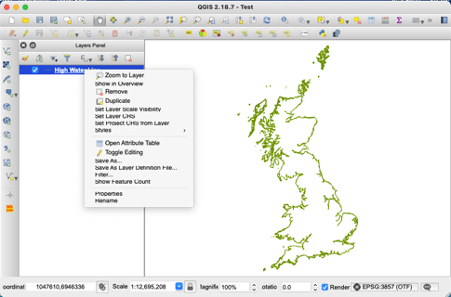
Prerequisites: QGIS installed on your system. Step 1: Open QGIS. You should see something like this: Step 2: Save your project file with a suitable…
View More How to: Create a Project in QGISConverting OSGB to Lat/Long
The long and tedious job of creating a file of accurate coordinates for settlements and topographic features in Cornwall continues. I now have 5,905 with…
View More Converting OSGB to Lat/Long


